Table of Contents
Update: April 23 2023
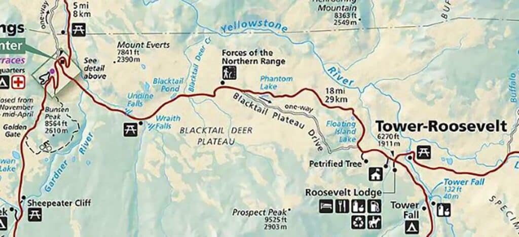
The Grand Loop Road in Yellowstone National Park takes visitors through some of the park’s most beautiful and unique natural features. If you’re considering traveling North Grand Loop Road, you’ll explore Yellowstone’s Grand Circle, which constitutes the interior roads within the park and is roughly shaped like an angled figure-eight. Most people explore making a figure 8 with an upper loop and a lower loop. The northern upper Grand Road loop figure “8” circles Mammoth Hot Springs, Tower-Roosevelt, Canyon Junction and Norris Junction, before returning to Mammoth.
This post may contain affiliate links, meaning if you purchase something through one of these links, we may earn a small commission at no extra cost to you! Read the full disclosure policy here.
Mammoth Hot Springs to Tower Junction
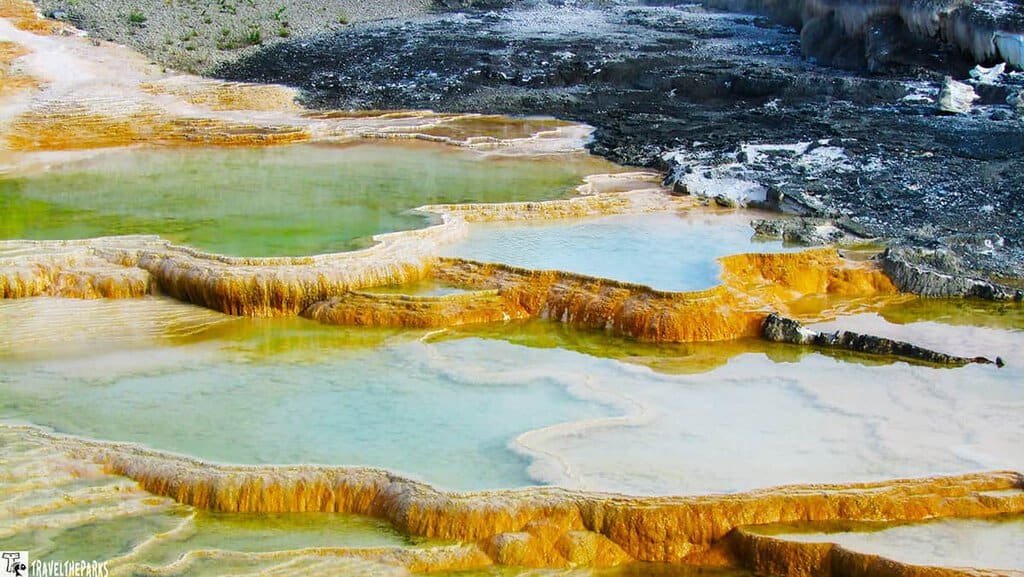
Our favorite section is traveling the North Grand Loop Road between Mammoth Hot Springs and Tower Junction. The northern section of Yellowstone differs vastly from the western section and its geothermal features. The section between Mammoth and Tower features scenic mountain vistas, wildflower meadows, and peaceful lakes and streams.
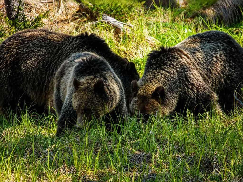
What I love most about this area is the abundant opportunities to sight wildlife, especially if you travel during the early morning hours. Today, we spot a single car pulled off the highway. Curious, we slow down, only to see a lone black bear ambling through the forest. The prospects of seeing animals like this happen quickly in Yellowstone, so always have your camera ready!!
Sheepeater Canyon Bridge-North Grand Loop Road
Just east of Mammoth Hot Springs, the North Grand Loop Road crosses the Gardiner River. We take a moment to stop at Sheepeater Canyon Bridge. It was breathtaking. You can hear the rushing waters of the Gardiner River as it makes its way to join the Yellowstone River.
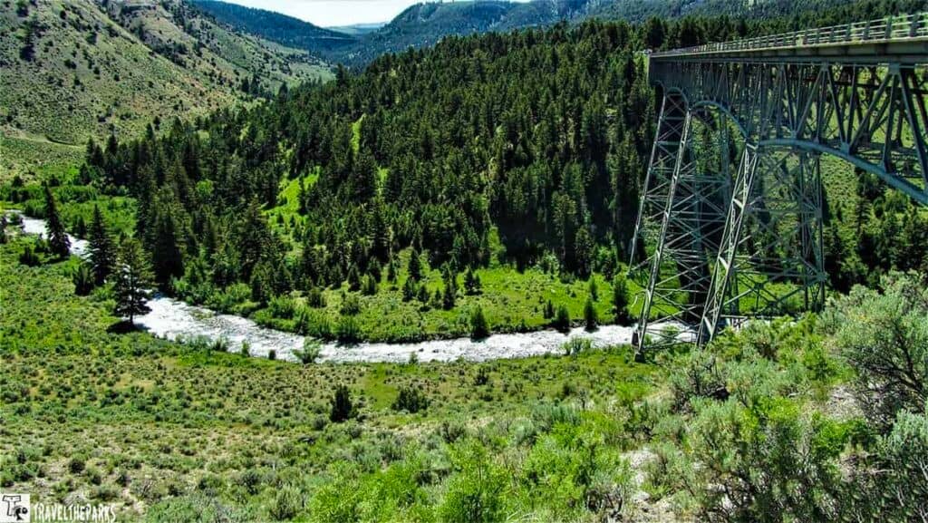
Built in 1915, this 925-foot-tall reinforced concrete arch spans Sheepeater Canyon. The Gardner River carved a narrow, deep valley about 70 feet below the bridge. The bridge’s name honors the Sheepeater Indians, a local Shoshone band, and it features the famous Warren Truss design. Today, the bridge is listed on the National Register of Historic Places.
Note: A new bridge will be constructed beside this bridge. Automobile traffic will use the existing bridge while the new bridge is under construction. Not sure of the fate of the bridge once construction is complete.
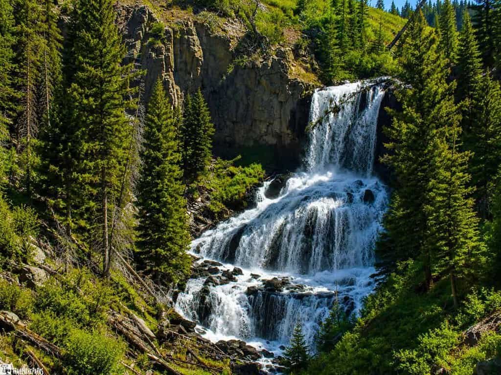
Spectacular Undine Falls on the North Grand Loop Road
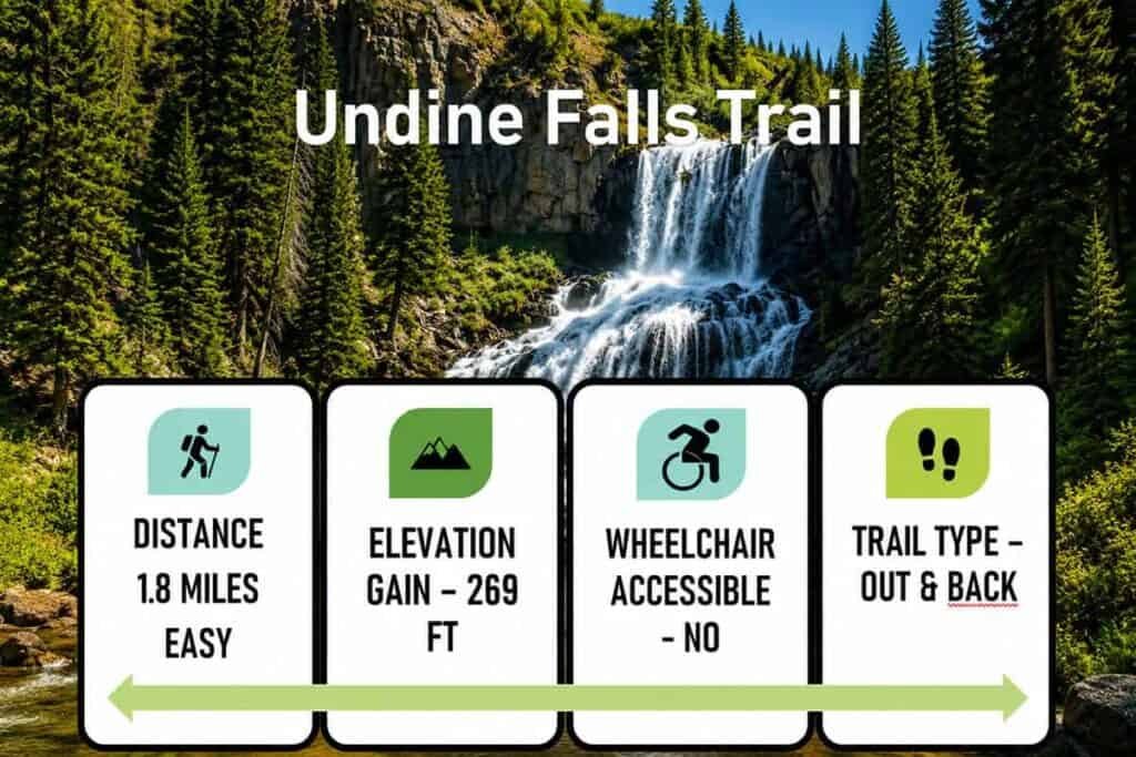
The falls are located about 4 miles outside Mammoth Hot Springs. There’s a convenient pullout off the North Grand Loop Road, where visitors can stop to take in the view. Lava Creek forms Undine Falls (pronounced UN-deen), which plunges 30 feet into a deep pool below after cascading over a series of steep rock tiers.
The falls were named by geologist Arnold Hague, who found them mystical. “Undine” comes from German mythology, referring to a water spirit or nymph. According to legend, these spirits lived near waterfalls and could gain souls by marrying mortal men. In June, thanks to snowmelt, the falls were flowing with a relatively high volume of water, making the three tiers even more spectacular.
We spent some time photographing these beautiful waterfalls. Interestingly, the trail leading to the base seems to have been built by visitors rather than the park service, giving it a rugged, natural feel.
Lunch at Lava Creek Picnic Area on the North Grand Loop Road
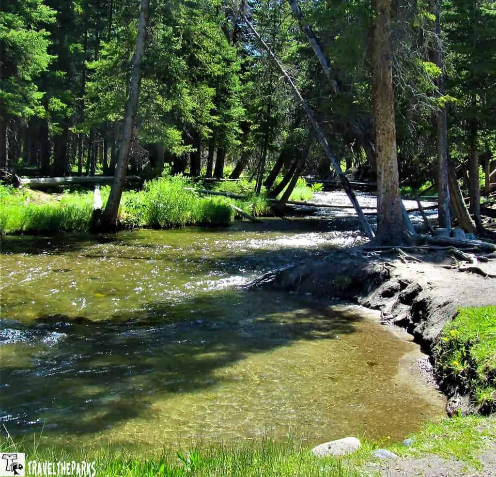
It was a beautiful, breezy day as we drove along the Grand Loop Road, stopping for lunch at the Lava Creek Picnic Area. Five picnic tables dot the creek’s edge, making it an ideal spot to enjoy the clear, cold waters.
The area is perfect for relaxing in the quiet, listening to Lava Creek’s gentle flow. We wandered a short distance south along the creek, but didn’t see any wildlife. Be prepared for some deadfalls along the trail, which are common in this peaceful, forested setting.
Lava Creek Canyon Trail-North Grand Loop Road
The trailhead is opposite the picnic area across the North Grand Loop Road, on the northeast side of the bridge. Both people and wildlife use this heavily traveled trail. The trail is approximately 9.2 miles long and considered a moderate hike. This hike works best as a one-way trail, but it requires two vehicles so you can return to the Mammoth Campground Trailhead. The trail overall descends 1000 feet toward the Gardiner River. In the spring, the trail can be very muddy in spots. I would suggest sturdy walking or hiking shoes and a quality trekking stick.
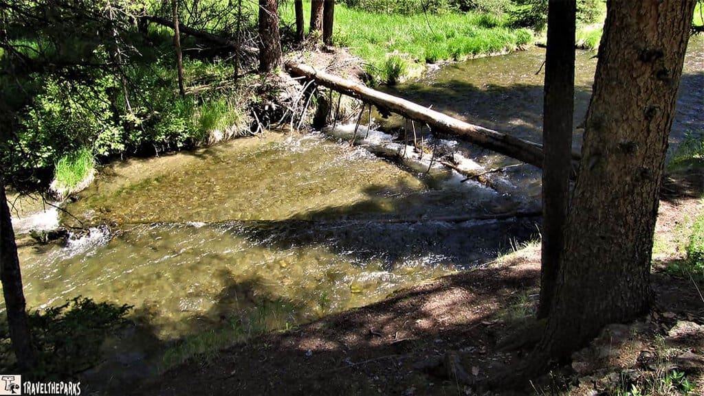
We hiked up to Undine Falls, enjoying a stunning display of wildflowers along the way. After about a mile, we reached the top of the falls and took a moment to soak our feet in the river before starting the uphill climb back to the picnic area.
If you continue downhill through Lava Creek Canyon, the trail follows Lava Creek until it joins the Gardner River. From there, the trail runs through a sagebrush flat toward a bridge. Hikers normally cross the wobbly suspension bridge over the Gardner River to complete the loop, but note: the bridge is currently out of service because of the 2022 flooding.
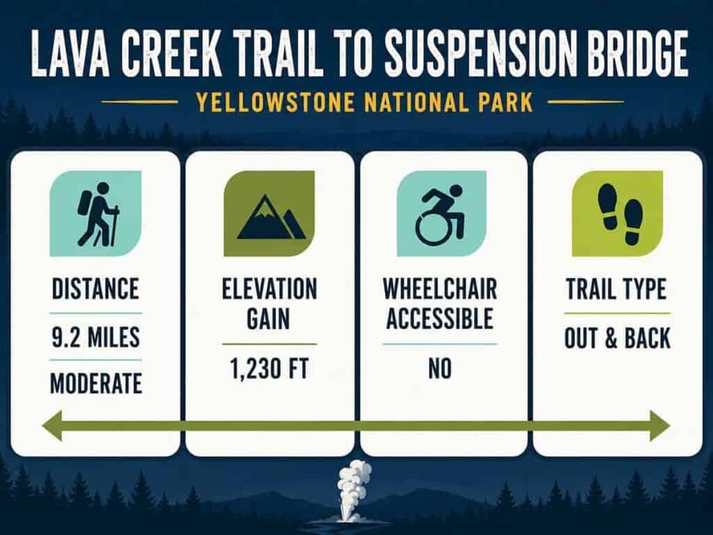
Three important facts come to mind if you plan to do this trial.
- Be physically prepared. Some sections of the trail near Undine Falls are steep, so a reasonable level of fitness is important.
- Bring plenty of water and snacks. Refillable water bottles are ideal, and you can top them off at various water stations throughout Yellowstone National Park.
- Bear safety is crucial. This is grizzly bear country, so carrying bear spray is a must for your protection while on the trail.
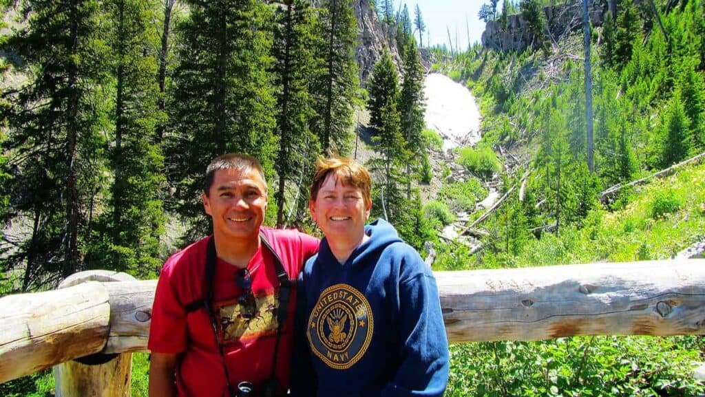
Hike to the beautiful Wraith Falls along the North Grand Loop Road
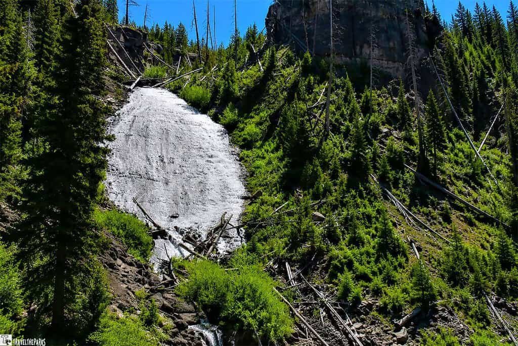
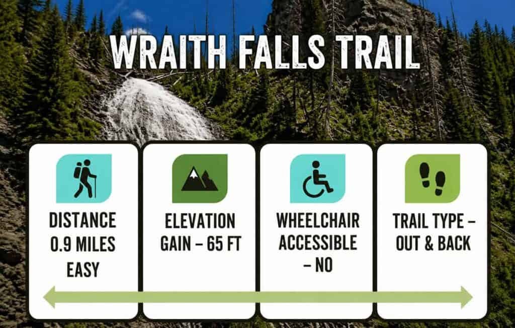
Wraith Falls is a 0.8-mile out and back trail. They rated it as an easy hike suitable for all skill levels. This 100-foot fall, cascade down a gentle slope as it empties into Lupine Creek. Heavily travelled, the trail is clearly marked and easy to follow. There is a raised overlook platform at the end that gives you outstanding views of the falls.
It is said that in 1885, a party from the U.S. Geological Survey, specifically Arnold Hague, thought they looked like an apparition or a ghost.
We found this to be an excellent hike for a refreshing stretch break. It’s a perfect choice for anyone looking for a quick hike—or for families with young children. The trail is easy, winding through meadows dotted with spring wildflowers, with only a moderate elevation gain near Undine Falls.
This trail also offers great opportunities for wildlife viewing. The surrounding area is home to a variety of animals, including black bears, bison, and elk. During our hike, we were lucky enough to spot a lone bison calmly cruising through the meadow—a memorable highlight of the day.
BlackTail Pond Hike
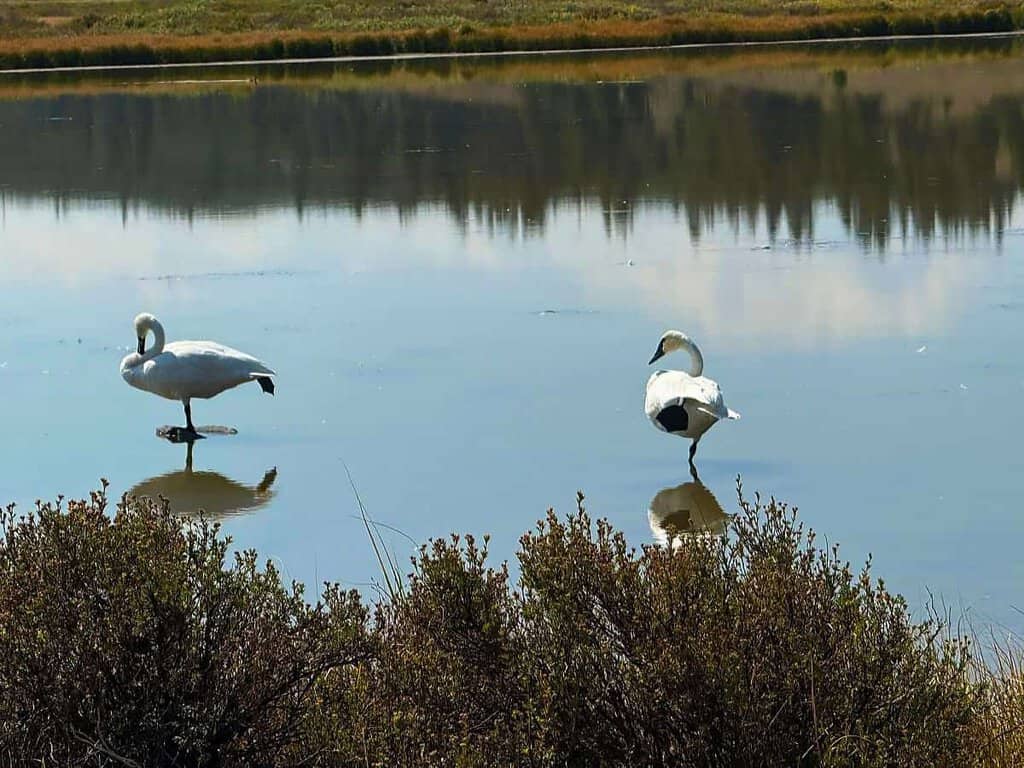
On the north side of the road, Blacktail Pond takes its name from the black-tailed deer that are often spotted nearby. The pond is a popular fishing spot, home to species such as cutthroat trout and brook trout. It’s also a great place for wildlife viewing, with elk, bison, and other animals frequently seen in the area. In early spring, keep an eye out for trumpeter swans as they return to the pond each year.
Detour taking Blacktail Plateau Drive
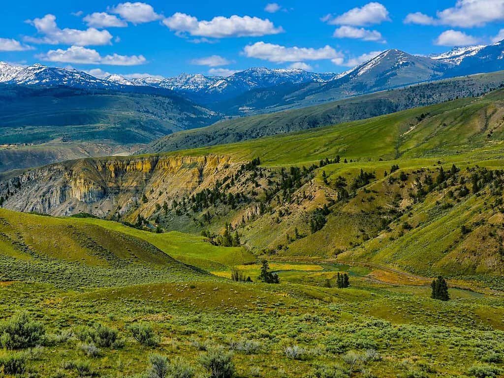
This one-way gravel road lies about 8 miles outside Mammoth Hot Springs. The 6-mile drive takes roughly 30 minutes and reconnects with the Grand Loop Road North. If you have the time, it’s a fantastic way to get off the beaten path.
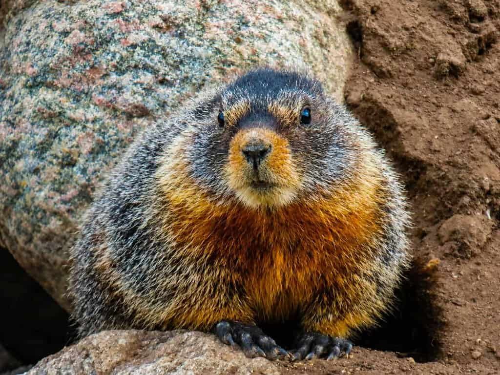
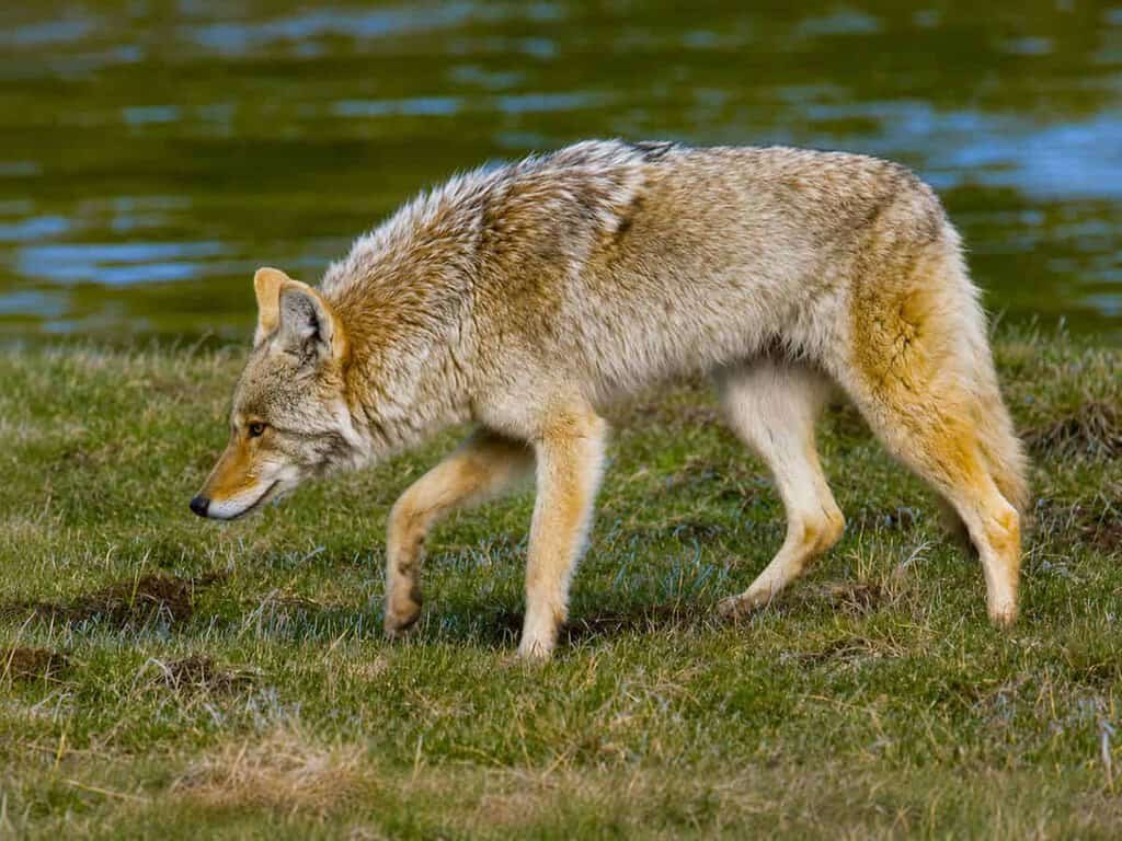
The road can be rough and washboarded in places, but driving slowly makes it manageable. Along the way, we kept a careful eye out for bison, elk, deer, and coyotes—and silently hoped to spot bears or wolves. Bringing binoculars and a camera will enhance your wildlife viewing, and several pullouts along the route offer great spots to stop and observe the animals.
Blacktail Plateau Drive is generally open to vehicles from late May or early June through October, depending on weather conditions. In the winter months, the road closes to cars but remains accessible for cross-country skiing and snowshoeing.
Floating Island Lake
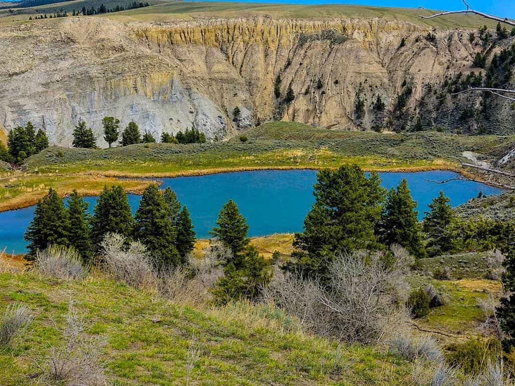
This small kettle pond, left behind by long-gone glaciers, earned its unusual name from what was thought to be a floating island of weeds that drifted with the wind. The rolling hills around the pond are a good spot to spy pika, while the shallow lake provides excellent birdwatching opportunities—keep an eye out for trumpeter swans or sandhill cranes. If you’re very lucky, you might even spot a moose.
On our visit, we took the short trail down to observe yellow-headed blackbirds nesting among the cattails lining the banks. However, a large herd of bison with calves was moving toward us just a short distance away, so we wisely retreated back to the car.
Hell Roaring Trail Overlook
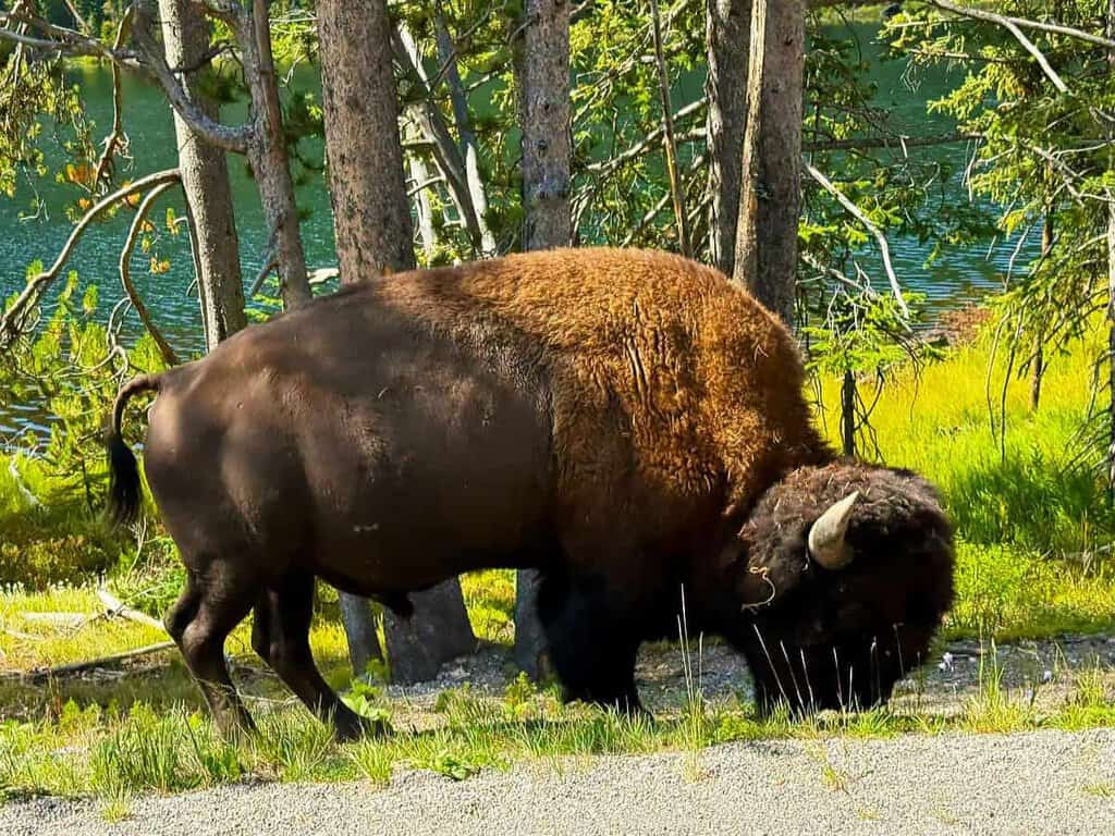
From the overlook, visitors are treated to breathtaking views of Hell Roaring Creek as it winds through the Lamar Valley. On a clear day, the Absaroka Mountains provide a stunning backdrop. The overlook is also a fantastic spot for wildlife watching, with bison, elk, and other animals often visible in the valley below.
For those seeking more adventure, the Hell Roaring Creek Trail stretches 18.2 miles and can be strenuous, but the effort is rewarded with one of the park’s most beautiful and remote wilderness experiences.
There’s a small parking area at the overlook, along with a short trail that leads to an even higher vantage point, offering more dramatic vistas. We found the trail to be relatively easy, making it suitable for most skill levels.
As someone fascinated by geology, I couldn’t help but notice how the canyon below was carved by Hell Roaring Creek, its flow shaping the landscape over millennia. The result is a striking combination of rugged terrain and sweeping views that showcase the power of natural forces over time.
Stop at the Petrified Tree along the North Grand Loop
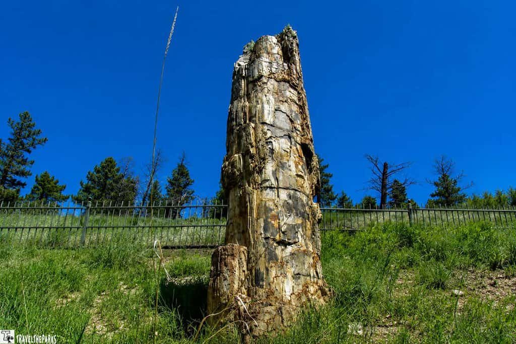
The Petrified Tree is one of Yellowstone’s unique and fascinating geological features. This ancient tree is among the best-preserved redwoods in the world. Just before reaching the intersection of the Tower-Roosevelt area, we took the short dirt road to visit it.
The parking lot was full, so we parked along the hillside and walked uphill to the overlook. From there, we could view the Petrified Tree via a boardwalk that wraps around its base. To protect it from vandalism, the tree is fenced—something I hope will help preserve it for at least another 50 years. Getting a closer look, it’s incredible to see the intricate details and patterns of the petrified wood, a true testament to nature’s enduring artistry.
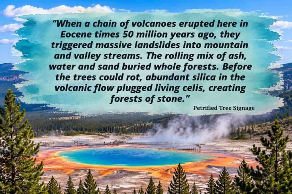
The Petrified Tree is a 50-foot-long fossilized tree trunk that dates back to the Eocene epoch, roughly 50 million years ago. Originally, it was a towering redwood that fell into a river, where sediment quickly buried it. Over time, minerals in the sediment replaced the tree’s organic material with stone, turning it into the remarkable petrified fossil we see today.
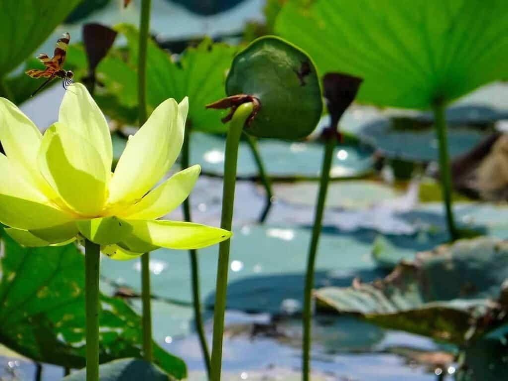
This area is the best in the early morning. Sometimes bears and moose frequent the lower meadows. The valley is lush with grasses that wildlife can browse on in early spring.
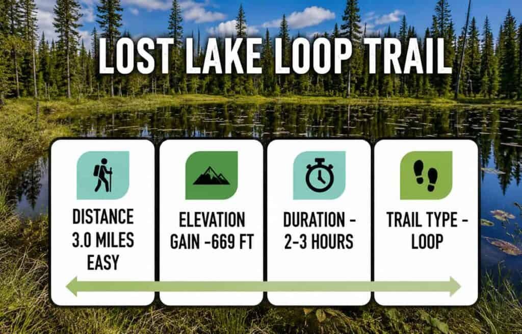
Hike to Lost Lake Trail: Finding Solitude
Visitors can access the trail to Lost Lake either behind the Roosevelt Lodge and Cabins or from the Petrified Tree.
Starting from Roosevelt Lodge, the trail is about 3.3 miles one way, with an elevation gain of roughly 800 feet—a steep climb to the lake. The trail from the Petrified Tree is much shorter at 0.5 miles one way and stays relatively level, making it an easier option.
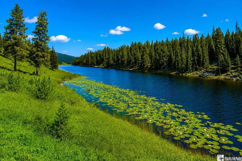
The real highlight of the hike is Lost Lake itself: a stunning alpine lake nestled in a high mountain valley, ringed by towering peaks and dense forest. For me, it offered the perfect tranquil spot for a picnic lunch.
As with any hike in Yellowstone National Park, it’s important to come prepared with bear spray. Other hikers mentioned seeing a black bear on the trail earlier.
From Lost Lake, hikers can continue on to other nearby trails, including the Mount Norris Trail and the Cache Creek Trail. Both trails offer additional opportunities for exploration and adventure in this stunning wilderness.
The Road to Tower Fall on Tower Creek
The Grand Loop Road turns south again after Tower Junction, heading toward Canyon Village. The next stop along the road is Tower Fall. This waterfall is on Tower Creek, a tributary of the Yellowstone River. Tower Creek originates in the Absaroka Mountains and flows through the northeast region of Yellowstone National Park.
Lower Falls plunges 132 feet over a series of rocky ledges into Tower Creek. The creek flows only a short distance before joining the Yellowstone River.
The name “Tower” comes from the nearby rock formations at Tower Junction. During the 1870 Washburn Expedition, explorers named the creek for the towering volcanic spires that frame the falls.
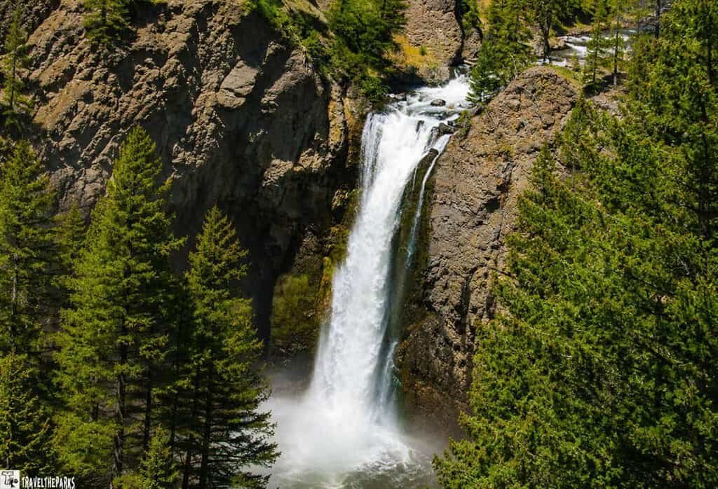
You get the best view of Tower Fall from a distance. Just off the Grand Loop Road, park beside the Tower Fall General Store. From the overlook at the end of the parking area, we soaked in the scenic beauty. The surrounding landscape mixes forests, meadows, and rocky terrain.
You can take a trail from the parking lot that goes down to the Yellowstone River below the falls. It is steep in a few places, but will get you marvelous views of the river. Unfortunately, because of severe erosion, you can no longer take the trail to the base of the falls.
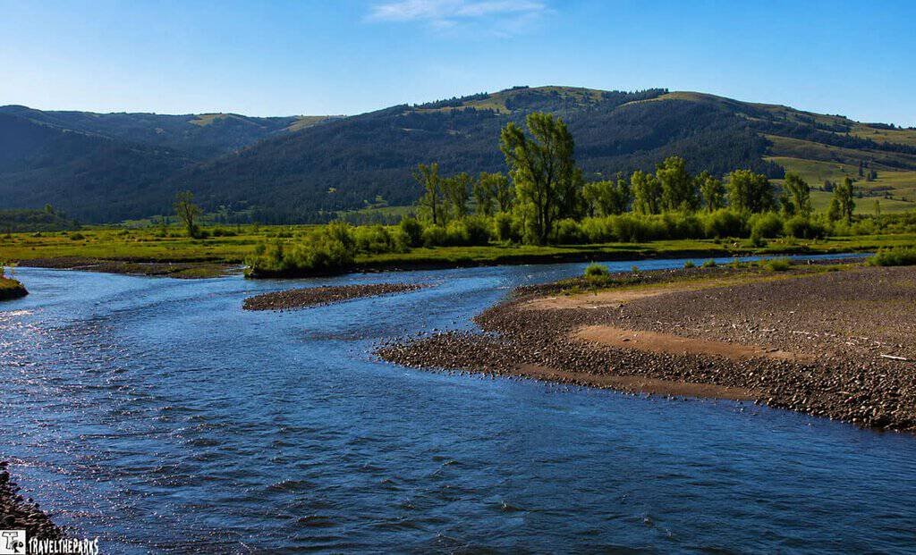
Reaching the Summit: Dunraven Pass, Grand Loop Road’s Highest Point
Dunraven Pass is named after former British politician Edward William Dunraven, who visited the area in the late 19th century. The pass sits at an elevation of 8,859 feet (2,700 meters) above sea level, making it the highest point along the park’s Grand Loop Road.
This section of winding road is one of the most challenging drives in Yellowstone National Park. Stopping at the top, we were rewarded with stunning views of the surrounding landscape, including the Absaroka Range to the east and the Gallatin Range to the northwest.
The scars of the 1988 fires were still visible, with stunted trees and patches of charred forest giving the area an eerie, haunting beauty. In some spots, snow lingered at the mountaintop, and we couldn’t resist taking advantage—making snowballs and even enjoying a playful snowball fight. As the snow slowly melted, vibrant valley flowers began to peek through, a cheerful contrast to the rugged, fire-scarred landscape.
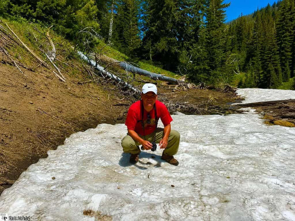
The area around the pass is home to a variety of hiking trails, including the Mount Washburn Trail, which offers panoramic views of the park from its summit. The park services notes that this pass is typically open from late May through October, depending on weather conditions.
Note: Check with the rangers before driving the pass is advisable since even summer snow can close the pass. Weather can change quickly in Yellowstone, so be sure to check the forecast before setting out on any hiking trails.
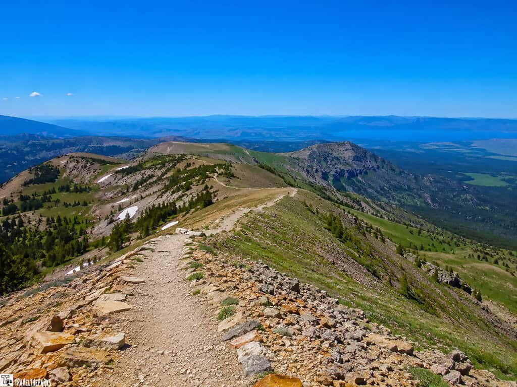
Hiking the Mount Washburn Trail
Mount Washburn offers arguably the best views in Yellowstone National Park for minimal effort. From the Grand Loop Road, take Chittenden Road to the parking area, then hike an easy 2.5 miles along a gravel road—closed to vehicles—up to the fire/observation station at the summit.
P1ro Tip: wear comfortable walking shoes, bring a trekking stick , and layer up—a jacket is essential, as temperatures drop quickly with the climb to over 3,000 feet.
Once at the top, the summit rewards hikers with a sweeping 360-degree panorama. You can see the Grand Canyon of Yellowstone, Hayden Valley, and the Absaroka Range. On a clear day, the Teton Range can even be glimpsed in the distance. Today was a bit cloudy, so our views were slightly obscured, but still spectacular.
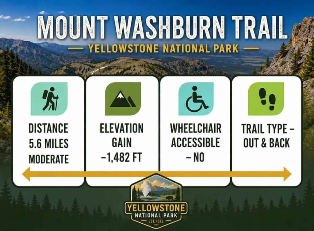
Alternatively, you can hike the Mount Washburn Trail, a 6.2-mile round trip considered moderate, with an elevation gain of about 1,400 feet. The trailhead is located off Dunraven Pass, between Tower Junction and Canyon Village.
The trail begins in a dense forest and gradually ascends to the treeline. Along the way, hikers can enjoy wildflowers in bloom and spot wildlife such as bighorn sheep, marmots, and pikas.
At the summit, the views are endless. You can take in the entire park, with the Teton Range visible in the distance. A National Park Service fire lookout station sits at the peak, offering a perfect place to rest and soak in the panorama before heading back down the trail.
What to Know Trekking Along the North Grand Loop Road
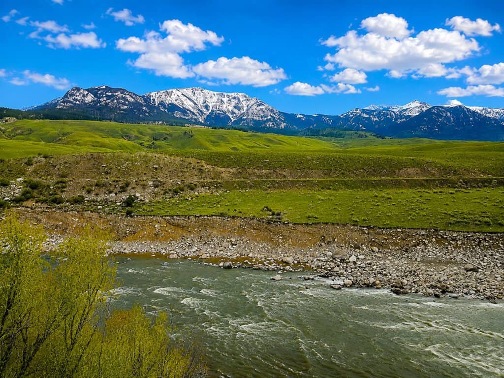
Trekking along Yellowstone’s North Grand Loop Road offers some of the park’s most breathtaking scenery and wildlife viewing opportunities, but proper planning is key to making the most of your adventure. Here’s what you should know before you hit the road:
- Timing is everything: The North Grand Loop Road is busiest in mid-morning to mid-afternoon. For fewer crowds and better wildlife sightings, plan to start early in the morning or late in the afternoon. Seasonal closures can occur—typically from late fall through spring—so check current road conditions before you go.
- Wildlife Safety: The Lamar Valley portion of the loop is famous for its wildlife, including bison, elk, wolves, and bears. Keep a safe distance, use binoculars or a zoom lens, and never approach animals on foot or by vehicle. Always carry bear spray and know how to use it.
- Essential Gear: Dress in layers to adapt to changing temperatures and unpredictable weather. Bring water, snacks, a first-aid kit, and sturdy walking shoes if you plan to explore trails adjacent to the loop road. Don’t forget sun protection and insect repellent.
- Navigation and Maps: Cell service is limited in Yellowstone, so download offline maps or carry a printed map of the North Grand Loop Road. The official Yellowstone National Park website provides up-to-date road status and trail information.
- Facilities and Services: Along the North Grand Loop Road, you’ll find several visitor centers, restrooms, and lodges, such as Roosevelt Lodge. However, services may be limited, so stock up on essentials in nearby gateway towns before entering the park.
- Parking and Traffic: Popular stops like Tower Fall and Lamar Valley can get congested, especially during peak season. Patience is important—plan extra time for parking and always follow park regulations.
Planning Resources for the North Grand Loop Area
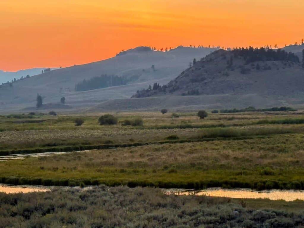
Before setting out on the North Grand Loop Road, a bit of homework goes a long way. Start with Yellowstone’s National Park official website, which stays current on closures, road conditions, and anything else visitors need to know before arriving. Because conditions along the loop can change quickly—especially with weather—it’s worth checking the dedicated road status page directly, rather than relying on older info you might have seen elsewhere.
A good map makes a big difference too. Print one out or save it to your phone so you can find trailheads and orient yourself along the North Loop without relying on spotty cell service. It’s also smart to spend a few minutes with the NPS’s wildlife safety guidance, since bison, bears, and other animals are a regular part of the Yellowstone experience—and knowing how to behave around them keeps both you and them safe.
Once you’re on the road, the visitor centers scattered along the loop are worth a stop. Rangers there can offer real-time advice, point you toward interesting programs, and hand you updated maps. And if you need a place to sleep or eat, the gateway towns of Cody, Gardiner, and Cooke City all have lodging, restaurants, and supplies within easy reach of the park entrances.
Put it all together, and a little preparation turns a drive along the North Grand Loop Road into an easy, memorable trip through some of the most striking scenery—and wildlife—in the country.
Final Thoughts on Traveling the Magnificent North Grand Loop Road
Note that although the Grand Loop Road may be congested sometimes (especially during peak season), the park’s vast size ensures you can always find solitude in the backcountry. Escaping the crowds in the park means you need to hike away from the road. Yellowstone does offer something for everyone.
For us, traveling on the picturesque Grand Loop Road in Yellowstone National Park was a wonderful experience. It had us appreciating the natural wonders of this incredible park. It was pure joy driving along the Grand Loop Road. We loved having the opportunity to explore these magical places firsthand. Whether you’re trekking to a waterfall or observing bison or other wildlife on the road, every moment in Yellowstone is unforgettable.
Have you traveled on the Grand Loop Road? Share with us your favorite spots and the trails you explored. We’d love to hear your experiences in the comments below!